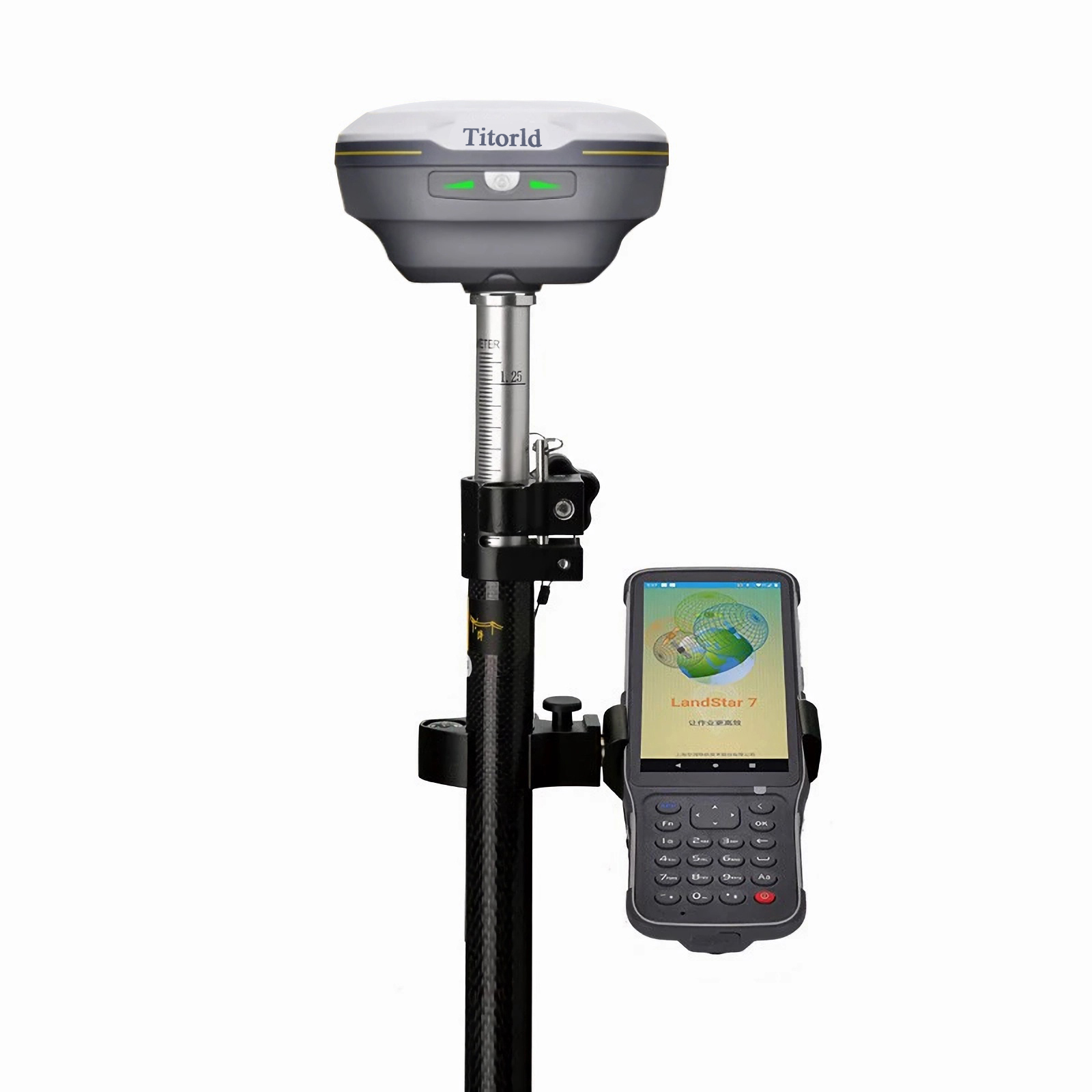


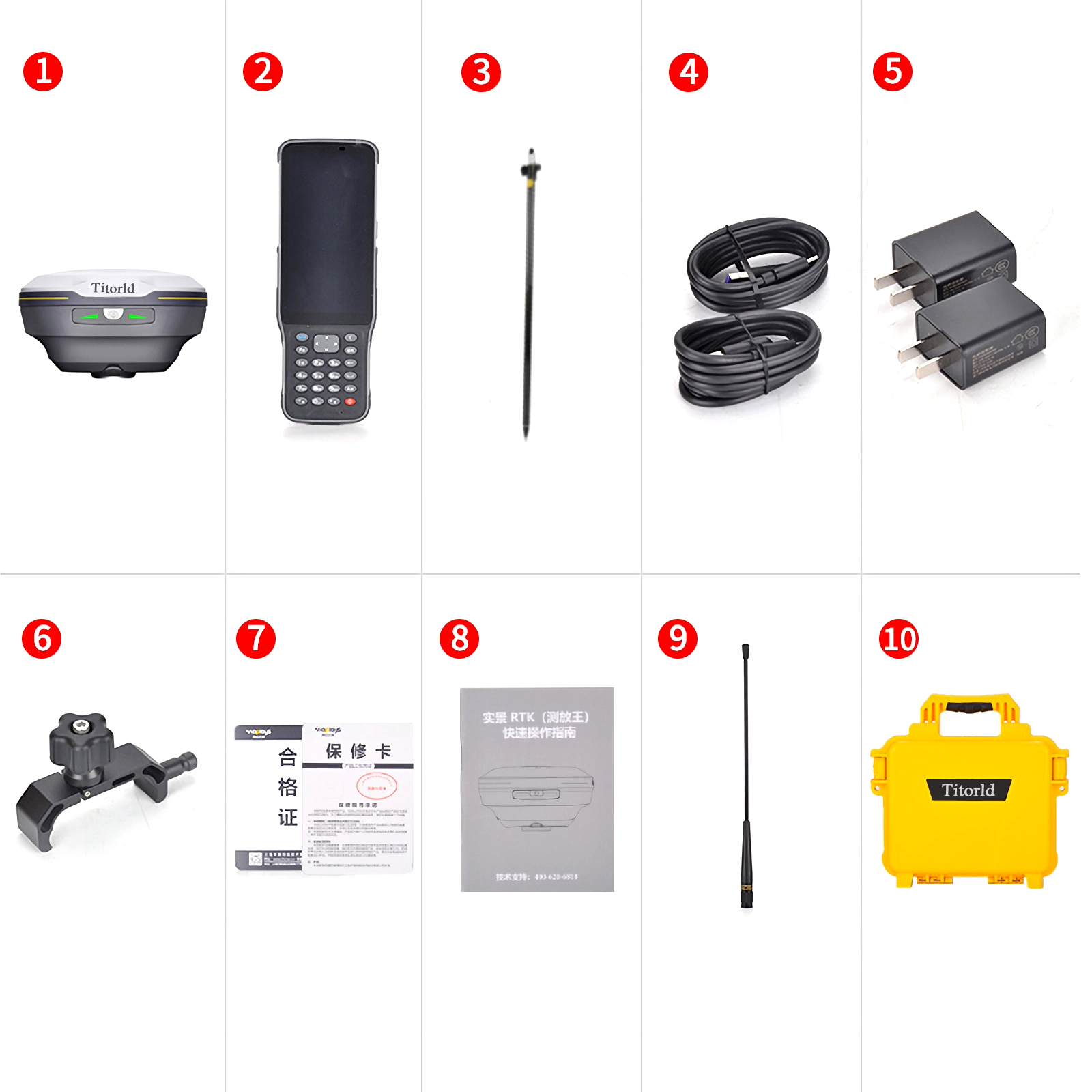

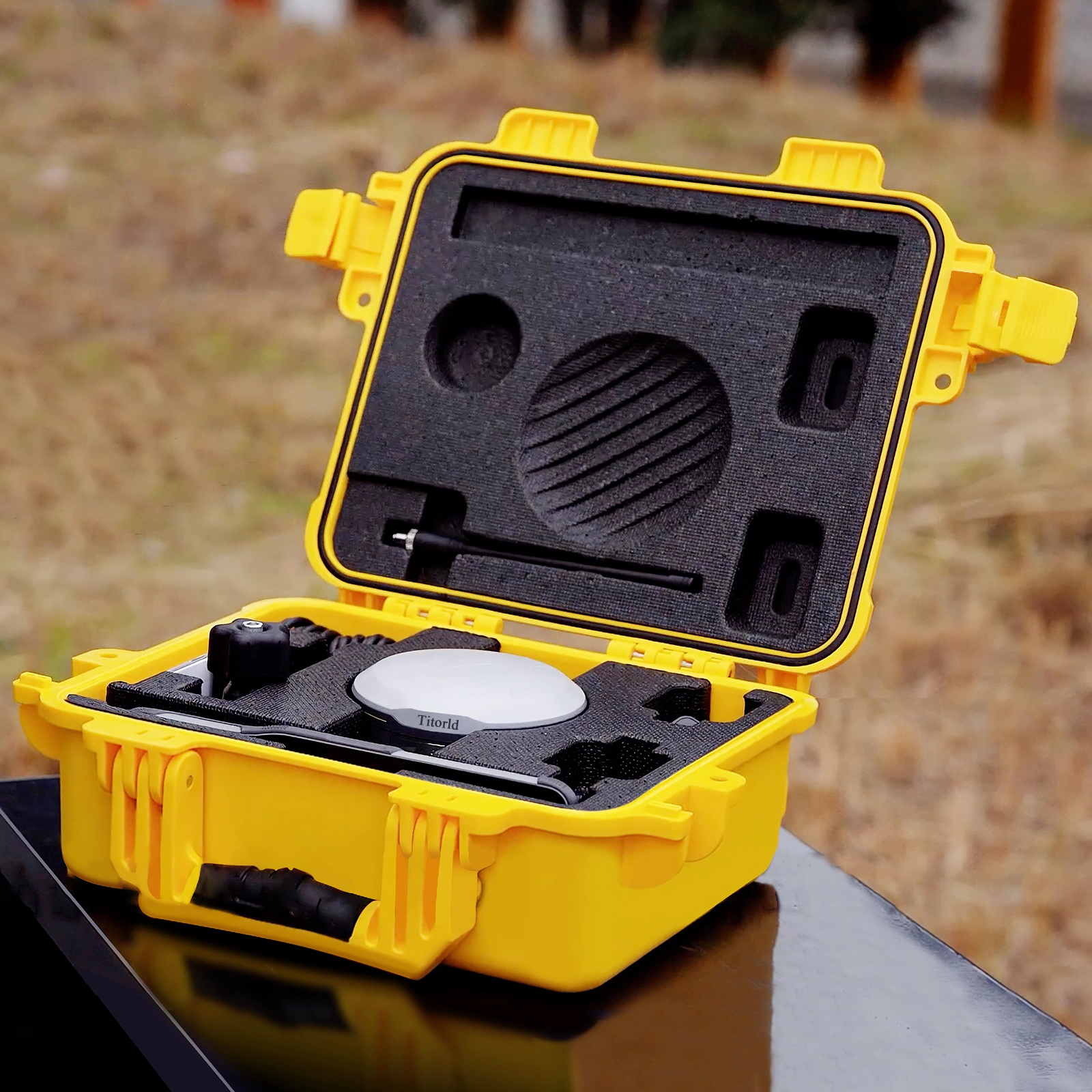


Our high-precision surveying instruments are engineered for accuracy and durability in demanding field conditions. The complete topographic surveying solution includes:
-
Robotic Total Stations with millimeter-level accuracy for angle and distance measurement
-
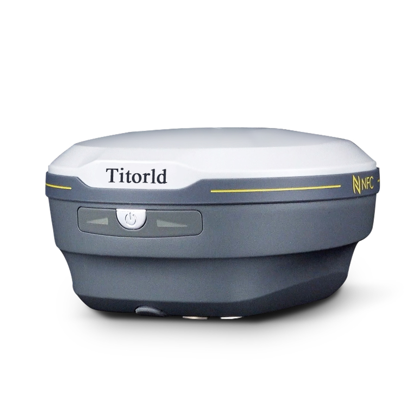
RTK GPS Systems providing real-time centimeter-accurate positioning
-
Digital Laser Levels for precise elevation control
-
Data Collectors with advanced mapping software integration
Ideal for:
✓ Land development projects
✓ Construction site surveys
✓ Geographic information systems (GIS)
✓ Civil engineering applications
All equipment features:
• Rugged, weather-resistant designs
• Long-lasting battery systems
• Intuitive interfaces for efficient operation
• Seamless data transfer capabilities
From initial boundary surveys to final as-built verification, our professional-grade tools deliver reliable performance for surveyors, engineers, and mapping professionals.


Reviews
There are no reviews yet.